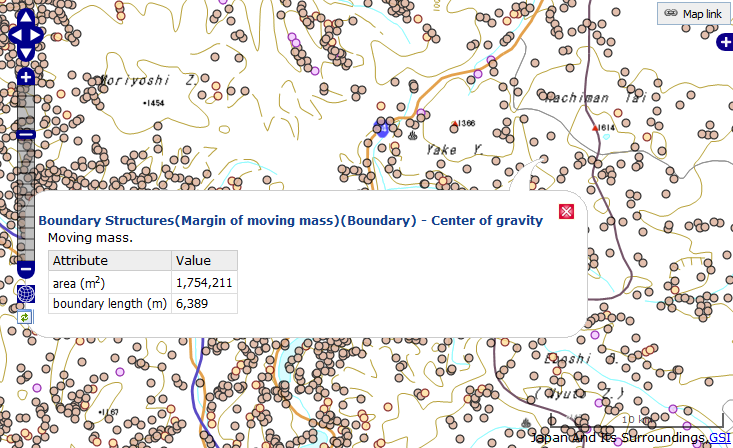
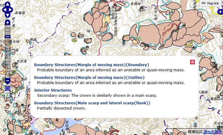
Use "Landslide" box at the sidebar to display the landslide layer (centroid positions / landslide symbols), the legend window, and to download the landslide data.

Check on "Landslide" checkbox in "Landslide" box at the sidebar, and the landslide layer appears. The display items on the layer chagne depending on the zoom level.
When zoom level is 9 or less, centroid positions of the moving mass appear on the map. Click a centroid position, the landslide property appears.

When zoom level is 10 or more, landslide symbols appear on the map. Click a landslide symbol, the landslide property appears.

Click "Legend" button in "Landslide" box to display the legend window for landslide symbols.
 Back to top