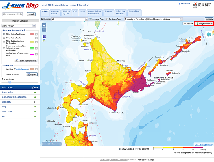
 button on top-right corner,
download process of a image of seismic hazard map layer within Map area will begin.
Note that the button is not active when no layer is shown on the map.
You can download a image of seismic hazard map layer within Map area in PNG format. You can arbitrarily specify the zoom and range of the map image by moving, zooming in/out the map.
When you click  button on top-right corner,
download process of a image of seismic hazard map layer within Map area will begin.
Note that the button is not active when no layer is shown on the map.

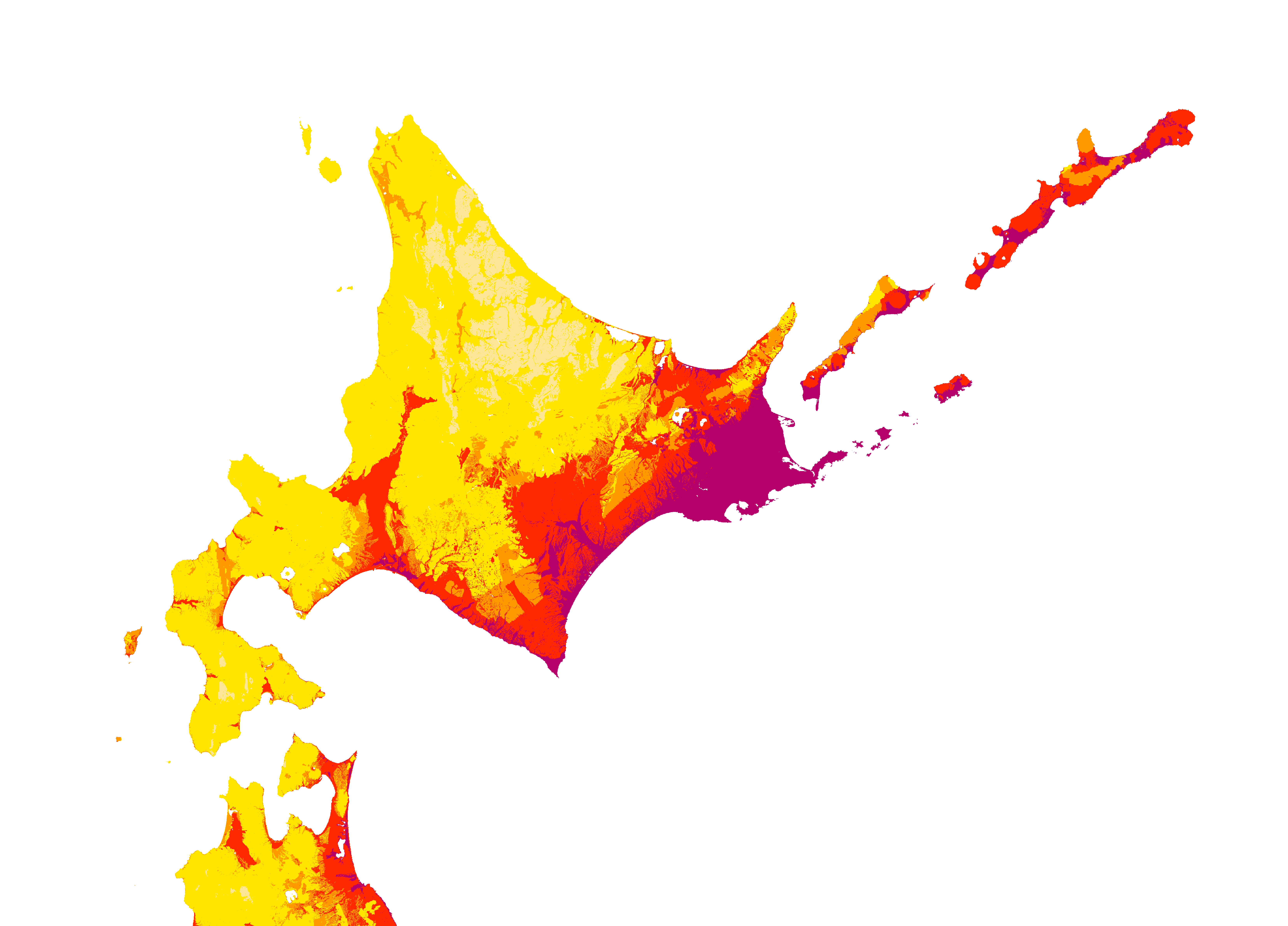
The image downloaded from the above screen is shown below.
